Wachtwoord kwijt? Nieuwe gebruiker? Registeren
Clownfish, Philippines. Photo by Stephane Rochon.
Enjoy and contribute!
| Zoek de beste duiklocaties |
|
|
 Cook Islands
Australie & Pacific
Locatie: Oceania, group of islands in the South Pacific Ocean, about one-half of the way from Hawaii to New Zealand
Geografische coordinaten: 21° 14' S, 159° 46' W
Kustlijn km: 120 km km
Klimaat: tropical oceanic; moderated by trade winds; a dry season from April to November and a more humid season from December to March
Terrein: low coral atolls in north; volcanic, hilly islands in south
Hoogte: lowest point: Pacific Ocean 0 m
highest point: Te Manga 652 m
Natuurlijke gevaren: typhoons (November to March)
Valuta: NZ dollar (NZD)
Populatie: 21,750 (July 2007 est.)
Talen: English (official), Maori
Hoofdstad: Avarua
Provincies:
Meer details
| Jan | Feb | Mar | Apr | May | Jun | Jul | Aug | Sep | Oct | Nov | Dec | |
|---|---|---|---|---|---|---|---|---|---|---|---|---|
| Climate | ||||||||||||
| Air temp. | ||||||||||||
| Water temp. | ||||||||||||
| Equipment | Don't know | Don't know | Don't know | Don't know | Don't know | Don't know | Don't know | Don't know | Don't know | Don't know | Don't know | Don't know |
| Best season | ||||||||||||
Extra kaart
Wil je info toevoegen over Cook Islands? Laat ons weten...
Dit is een interactieve kaart! Gebruik "controls" voor pan and zoom op deze kaart.

- Favoriet
-
Je favoriete and toekomst duiklocatie lijst
Je favoriete zone staat niet in het overzicht? Zone toevoegen
Zones
| Zones (2) | Duiklocatie | Sub zones |
|---|---|---|
| Aitutaki | 1 | 0 |
| Rarotonga | 4 | 0 |
 Foto's
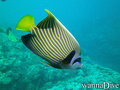
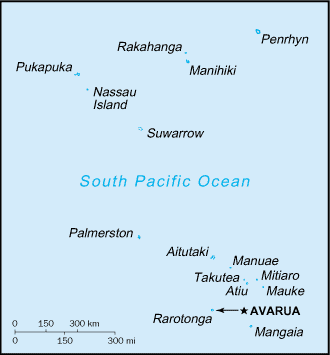
Aruntanga Passage |

Aruntanga Passage |
Aruntanga Passage |
Alberto s |
Comments
Fouten, Feedback
Als je nieuwe informatie wilt toevoegen of fouten van dit land wilt herstellen, Stuur ons feedback.
Adverteer
Wannadive.net 24/24
Wannadive.net op jouw mobiel
![]()
RSS Alle RSS feeds van Wannadive.net
Nieuwsbrief Alle nieuws per E-mail